Carbon Management and Decarbonization Analysis
State Carbon Management Roadmaps
Our experts have worked with several states to identify opportunities for carbon management deployment. We work with states to best leverage their natural resources, industries, policy and economic landscape. This work informs recommendations that can address topics such as incentives, regulatory capacity, carbon transport and storage oversight, workforce development, community engagement, and long-term planning. The aim is to help inform decision-making as carbon management activity expands in states.
If your state is interested in working with us, connect with us at [email protected]
View our Roadmaps:
Carbon Capture and Storage Opportunities in the Southeast and Gulf Coast
 This report highlights opportunities and challenges for near-term and midcentury potential for carbon capture, transport, and storage in the Southeast and Gulf Coast region of the United States. The results show that with coordinated infrastructure planning and sustained policy support, the region’s dense emissions sources and extensive geologic storage potential position it to lead in large-scale, cost-effective CCS deployment. The report expands previous deployment scenario analyses conducted by GPI into the Southeast and Gulf Coast region of the United States.
Carbon Capture and Storage Opportunities in the Mid-Atlantic
 This report builds on the results from GPI’s Transport Infrastructure for Carbon Capture and Storage to identify regional deployment opportunities in the Mid-Atlantic region of the United States. The analysis identified capture opportunities that could be deployed in the near term as well as into the midcentury and evaluates the regional transport infrastructure and saline geologic storage needed to decarbonize the energy and industrial sectors in the Mid-Atlantic.
Carbon Capture Co-Benefits Report
Carbon Capture’s Role in Removing Pollutants and Reducing Health Impacts
 This first-of-a-kind study quantifies the health impacts of the co-benefits of reducing other air pollutants by installing carbon capture technologies at representative facilities for seven industrial and power sectors across 10 regions in the United States. Installing these technologies has the potential to result in billions of annual health benefits nationwide. The benefits included reductions in adult and infant mortality, asthma exacerbations, and overall costs of lowering risks of all health categories.
GPI’s Atlas of Direct Air Capture
GPI published an Atlas of Direct Air Capture: Opportunities for Negative Emissions in the United States in March 2023. The atlas examines key factors that impact regional suitability for developing direct air capture (DAC) technology and associated infrastructure., including transporting and storing carbon dioxide, powering a DAC facility, and technology efficiency. Through this analysis, seven regions emerged as prime locations to develop regional DAC hubs, each with a unique set of advantages: California, Rockies & Northern Plains, Permian, Midcontinent, Gulf, Midwest, and Mid-Atlantic & Great Lakes.
GPI’s Carbon and Hydrogen Hubs Atlas
GPI published an Atlas of Carbon and Hydrogen Hubs in February, 2022, based on analysis of United States industrial activity, emissions, and fuel combustion. This atlas considers geologic storage potential, current hydrogen production, industrial concentration, and many other factors that provide opportunities for siting carbon dioxide removal, carbon capture retrofit, and new zero-carbon hydrogen production.
Or, click below to view a hubs fact sheet for each region:
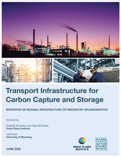
Carbon Capture and Storage Infrastructure for Midcentury Decarbonization
This report provides data sources, details the analytical methodology, and identifies potential capture facilities throughout the Western and Midwestern regions, as well as primary modeling scenarios and conclusions on regional CO2 capture, transport, and storage opportunities.
Jobs and Economic Growth Fact Sheets
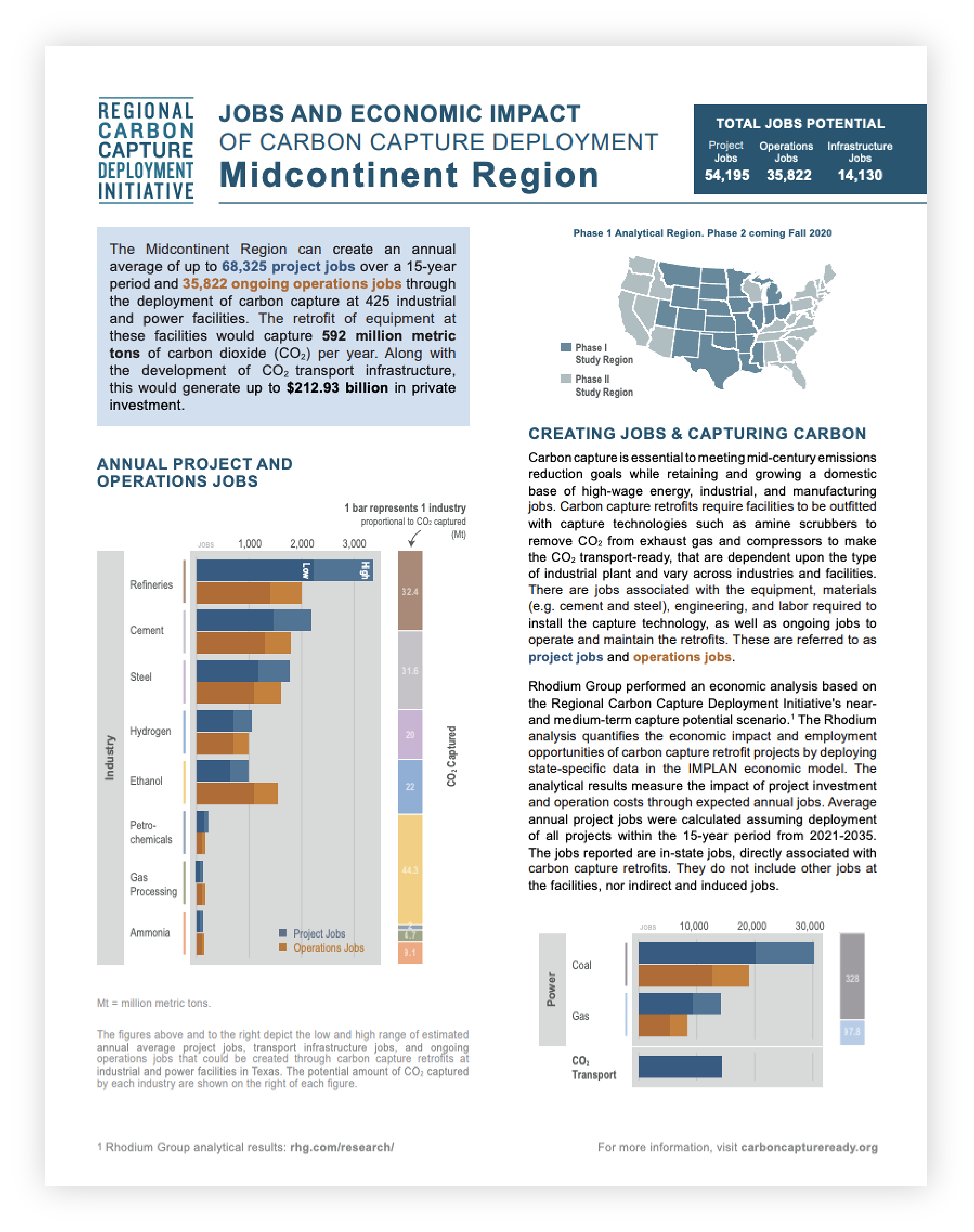
The Regional Deployment Initiative has released a series of state fact sheets on potential jobs creation and economic impact of carbon capture deployment, based on collaborative analysis by Rhodium Group. The Rhodium analysis quantifies the economic impact and employment opportunities of carbon capture retrofit projects by deploying state-specific data in the IMPLAN economic model.
Download each state fact sheet below:
Contact
For more information on our analyses or to work with us, feel free to contact:
Emma Thomley, Great Plains Institute


